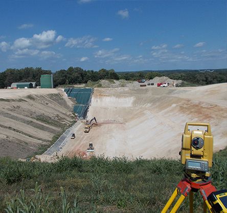
CCJM provides quality surveying services for local, state, and federal government agencies, as well as public-sector projects. Our highly efficient personnel, led by a multi-state Professional Land Surveyor, have extensive experience in topographic, boundary, and construction stakeout surveying efforts. We utilize state-of-the-art total stations, robotic stations and GNSS dual-frequency receivers, each paired with a data collector. This equipment permits field crews to collect data and reductions ‘on-the-fly,’ allowing immediate grade staking information, thereby increasing the contractor’s efficiency. CCJM employs “Field to Finish” technology and CAD software to expedite the conversion of field data to final drawing formats.